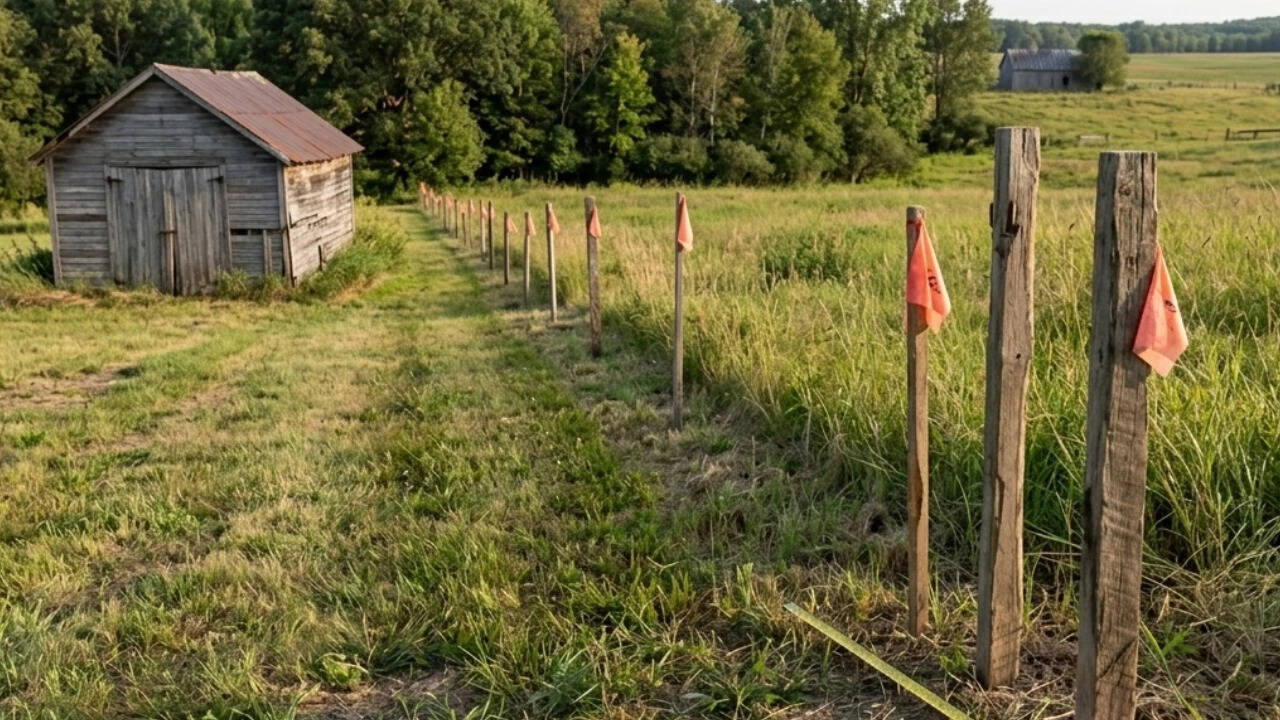
Property lines feel permanent until a surveyor arrives with a metal pin and a total station. A Michigan couple recently learned this lesson in the most expensive way possible, losing their claim to a fifty-foot strip of land after a neighbor commissioned two separate boundary surveys. The legal reality of real estate does not care about decades of mowing, planting flowers, or handshake agreements made over a backyard fence. It cares about ink, plats, and iron stakes buried beneath the sod.
Most homeowners operate under a comforting illusion. They assume that if a fence has stood for thirty years, or if an old oak tree clearly marks the edge of a yard, the law protects that informal boundary. It does not. Adverse possession, the legal doctrine that allows someone to claim ownership of land through continuous use, is notoriously difficult to prove. Courts require clear, hostile, continuous, and actual occupation of the property for statutory periods that often stretch across decades. The moment a neighbor commissions a professional survey and uncovers the true deeded boundary, twenty years of friendly gardening can evaporate into a costly legal defeat.
The Anatomy of a Boundary Collapse
Property descriptions drafted decades ago frequently rely on outdated methods. Stone markers, iron pipes, or references to trees that vanished generations ago created ambiguities that persist in modern land registries. When two neighbors live in peaceful ignorance, these ambiguities remain dormant. Tension starts the moment one party decides to build a garage, install a permanent fence, or sell their parcel.
The Michigan case highlights why relying on a single, neighbor-friendly assumption is dangerous. A single surveyor can make an error, which is why the aggrieved neighbor in this dispute commissioned two distinct surveys. Double-checking the measurements strips away any plausible deniability. Once certified by licensed professionals, the survey shifts the burden of proof entirely onto the party occupying the disputed strip.
Securing property rights requires proactive vigilance rather than passive trust. Homeowners routinely skip the step of ordering an independent location survey when purchasing real estate, trusting instead in the seller’s casual hand gestures or an old mortgage inspection report—which is rarely a legal boundary survey.
Legal Realities Versus Neighborhood Etiquette
Neighbor disputes over fifty feet of grass or a row of arborvitae rarely start with malice. They start with a property sale or a proposed home renovation. Once an official boundary is established, municipal code enforcement and civil courts defer to the recorded plat. Courts do not award land based on sentimentality or who spent more time fertilizing the lawn.
- Deed Descriptions Overrule Memory: Physical appearance yields to the written legal description registered with the county clerk.
- Adverse Possession Requires Hostility: Using a neighbor's land with their tacit permission usually invalidates an adverse possession claim, because the use was permissive rather than hostile.
- Surveyor Authority: Licensed surveyors operate under strict state standards of practice. Disproving their findings requires commissioning a counter-survey of equal or greater rigor, not just expressing disagreement.
The financial fallout extends far beyond the value of the dirt itself. Legal fees, expert witness fees for surveyors, and court costs can easily outstrip the market value of the contested strip. In many cases, the legal battle becomes a war of attrition where both parties lose, but the neighbor with the verified survey holds the legal trump card.
Protecting Your Boundaries Before the Dispute Arrives
Waiting for a neighbor to hire a surveyor is a reactive trap. Property owners can safeguard their real estate investments by taking concrete steps long before tension arises.
First, locate the original iron pins or markers defining your property corners. If they are missing, hiring a local surveyor to stake the property provides an unassailable baseline. Second, examine local zoning laws regarding fences and landscaping encroachments. Planting a hedge six inches over the property line may seem harmless today, but it creates a cloud on the title when it comes time to sell.
Real estate is the largest asset most people will ever own, yet people treat its perimeter with casual indifference. Trust your neighbors, but verify your boundaries. Because when the stakes go into the ground, neighborly goodwill vanishes, leaving only the cold geometry of the deed.