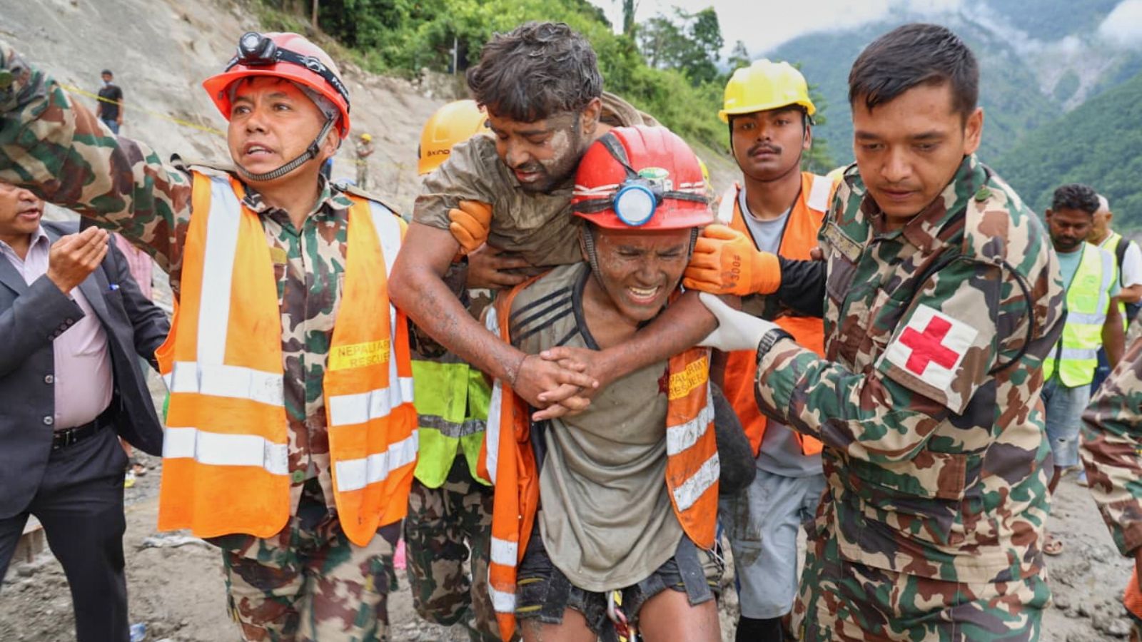
When catastrophic floods and landslides tore through the Rasuwa and Nuwakot districts following the destructive Bhote Koshi-Trishuli river overflows, thousands of stranded citizens and pilgrims turned their eyes upward. They waited for the distinct chop of rotor blades, expecting standard crisis extraction. Instead, the ensuing aerial response evolved into the most complex and hazardous mass evacuation in Himalayan aviation history, dwarfing even the peak-season pressures of Mount Everest.
Helicopters airlifted more than 4,000 people across hundreds of high-stress sorties in a matter of days, navigating narrow gorges under chaotic conditions that stretched human endurance and machine capability to a breaking point. While public imagination often romanticizes high-altitude mountain flying around the world's highest peaks, veteran pilots operating in these disaster zones faced a starkly different reality. Everest expeditions operate with a predictable blueprint. Everyone knows where the camps are, coordinates are mapped, and the objective is isolated to specific vertical corridors.
The post-flood canyon operations offered no such clarity.
The Chaos Inside the Gorge
Flying rescue missions through a restricted river gorge where over a dozen helicopters operated simultaneously requires an entirely different taxonomy of risk management. With roads completely severed and bridges washed into roaring torrents, the airspace between Trishuli and the Tibet border turned into an uncontrolled bottleneck.
Pilots reported arriving at designated GPS coordinates only to find that the destination had literally vanished. Entire sections of earth had slid away, leaving vertical mud cliffs where landing zones previously existed. Because ground infrastructure was wiped out, no formal air traffic control tower managed the influx of commercial and military aircraft. Aviators had to invent a makeshift protocol on the fly, enforcing strict visual separation, maintaining altitude tiers, and communicating blind coordinates across crowded radio frequencies just to avoid mid-air collisions.
Veteran aviators who have spent decades threading aircraft through thin mountain air noted that the psychological toll of these missions exceeded anything seen during standard mountaineering accidents. They were not just transporting injured climbers with known medical profiles; they were sorting through a shifting landscape of unverified distress calls, dense fog, and physical hazards that materialized without warning.
The Modern Menace of Rogue Drones
Beyond weather and geography, a secondary, man-made threat disrupted the timeline of survival. The proliferation of consumer and commercial drones deployed by media outlets, onlookers, and independent operators created a hazardous obstacle course in blind mountain corridors.
Civil aviation authorities highlighted that low-flying uncrewed aerial vehicles posed an immediate danger to rotorcraft moving at high speeds through tight spaces. When a helicopter is heavy with evacuees or carrying external longline loads, sudden evasive maneuvers are nearly impossible. The presence of unregulated airspace users forced pilots to divide their attention between terrain clearance and dodging unseen electronic eyes in the mist.
Compounding this aerial congestion was the paralyzing weight of digital misinformation. Old, recycled video clips circulated widely on social networks, triggering false rescue alerts that drained valuable fuel and flight hours. Emergency response coordinators recounted instances where aircraft were dispatched to remote forested sectors based on unverified digital panics, holding position for critical minutes while scanning empty canopies for victims who were never there. Every minute spent chasing a ghost coordinate meant another stranded survivor waited longer in the freezing mud.
Evolution of a Crisis Response
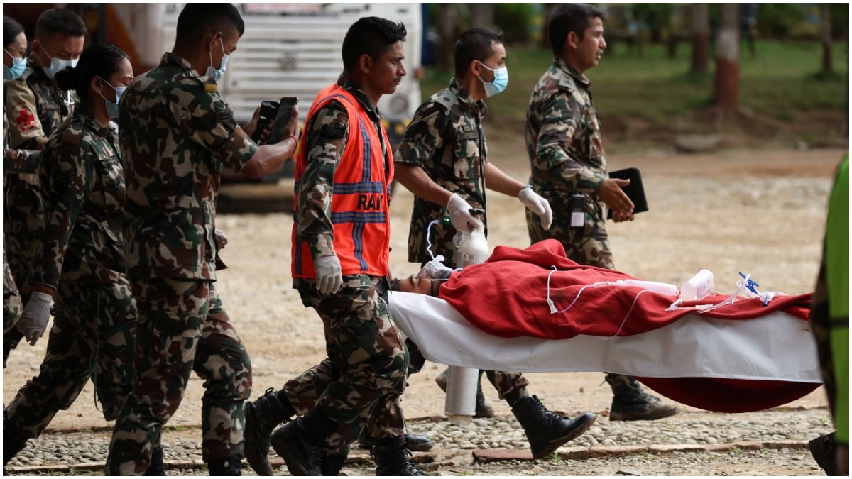
As the operational window stretched past the initial shock of the disaster, the nature of the flight profiles shifted dramatically. Days one and two demanded rapid triage, pushing doctors and rescue personnel into the disaster zone while evacuating the acutely injured.
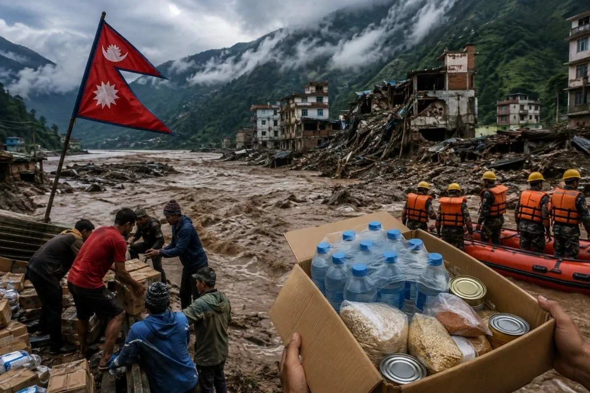
As valleys remained cut off and food supplies dwindled, the mission priority pivoted toward logistics and heavy drop operations, pushing cargo weight limits to the maximum tolerance of turbine engines operating in thin air. In the grim final phases of the immediate search window, crews faced the sobering task of recovering remains from inaccessible terrain, utilizing specialized longline rigging beneath the fuselage where landing was entirely impossible.
These operations expose the fragile architecture of disaster response in high-altitude developing regions. When natural monuments shift overnight, technology and digital connectivity can hinder rescue efforts just as easily as they help. The success of the airlift relied entirely on the raw instinct and deep local expertise of veteran pilots who refused to let the system fail, even when the ground beneath them dissolved away