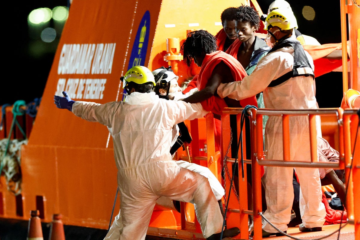
The maritime tragedy involving a vessel drifting for twenty-six days off the Canary Islands exposes structural vulnerabilities in transatlantic migration routes, search coordination frameworks, and survival thresholds at sea. When a migrant boat carrying dozens of individuals—including an infant—disappears from active tracking only to be located weeks later after catastrophic loss of life, the event signals systemic breakdowns rather than isolated navigational error. Deconstructing this disaster requires an operational analysis of maritime geography, physiological survival curves under extreme dehydration, and the jurisdictional bottlenecks that hinder emergency response architectures.
The Geography of the West African Atlantic Route
Migratory pressure originating from the West African coastline toward the Spanish Canary Islands relies on the Canary Current system. This oceanic highway combines persistent northeast trade winds with a southward-flowing surface current. While these natural forces can accelerate a small, unpowered vessel toward European territory, they simultaneously act as a trap when propulsion fails or navigation systems drift off-axis.
Small wooden or fiberglass skiffs, locally termed cayucos, are fundamentally unsuited for open-ocean transit. Their structural geometry creates low freeboard, meaning high-energy Atlantic swells easily swamp the hull. Once a motor fails or fuel reserves exhaust within this current regime, vessels are pushed past the island archipelago into the open expanse of the central Atlantic. The vector of drift follows predictable meteorological patterns, yet rescue systems struggle to map search polygons because dead-reckoning data for drifting vessels requires exact inputs on wind leeway and surface current velocities that change hourly.
Physiological Decay Functions Over Time
Survival duration on an adrift vessel is dictated by strict metabolic constraints, primarily hydration availability. In an open-marine environment lacking potable water, human survival follows a compressed timeline governed by ambient thermal stress and solar radiation.
- Days 1 to 3: Glycogen depletion and mild dehydration begin. Cognitive function remains intact, but psychological stress spikes due to spatial disorientation and lack of shade.
- Days 4 to 7: Permanent cellular damage initiates from hypernatremia and severe fluid deficit. Renal systems struggle to filter metabolic waste without sufficient solvent volume.
- Days 8 to 14: Organ failure cascades. Vulnerable populations—specifically infants, elderly individuals, and those with pre-existing medical conditions—suffer rapid cardiovascular collapse. An infant exposed to high ambient temperatures and absent maternal hydration pathways typically succumbs within this window.
- Days 15 to 26+: Survival is statistically improbable unless anomalous precipitation provides intermittent hydration. Individuals found after nearly four weeks at sea represent extreme outliers whose physiological resilience is compounded by rare environmental luck, though neurological damage from prolonged encephalopathy is nearly universal among survivors.
Jurisdictional Friction and Search Infrastructure
The governance of maritime search and rescue across the eastern Atlantic relies on the International Convention on Maritime Search and Rescue. Responsibilities are divided into Search and Rescue Regions managed by coastal states. In this corridor, the division falls primarily between Spanish maritime rescue authorities operating from the Canary Islands and West African coastal nations including Morocco, Mauritania, Senegal, and the Gambia.
The operational friction point centers on detection latency. Commercial shipping lanes do not blanket the entire eastern Atlantic; vast corridors exist where vessel traffic density drops to near zero. When a departure occurs from an unmonitored beach launch site, authorities possess zero baseline data regarding departure time, passenger manifest, fuel load, or vector heading. Without a distress beacon or an active satellite transmission, search operations cannot initiate until a family member raises an alarm or an opportunistic merchant vessel sights the hull. This creates an intelligence gap that often spans weeks, converting a rescue operation into a recovery operation long before asset deployment begins.
Systemic Failure Vectors
Evaluating why dozens of individuals perish on a twenty-six-day drift requires mapping the compound failures across the journey lifecycle.
- Departure Phase: Launch points lack biometric or logistical registration, preventing early containment or interception protocols before vessels reach high-risk deep-water zones.
- Transit Phase: Overloading compromises vessel buoyancy and accelerates fuel consumption rates, rendering the craft structurally compromised within the first seventy-two hours.
- Detection Phase: Terrestrial radar networks deployed by European border agencies exhibit blind spots beyond the immediate territorial waters of the Canary Islands, relying instead on high-altitude maritime patrol aircraft with limited loiter times.
- Response Phase: Diplomatic and operational friction between European Union border management frameworks and West African sovereign states delays the immediate cross-border sharing of intelligence regarding overdue or missing craft.
Strategic Mitigation Dynamics
Mitigating mass fatality events along this corridor requires shifting from reactive search protocols to predictive interception architectures. Deploying long-range, uncrewed aerial systems equipped with thermal imaging across the outer perimeter of the Canary Current can compress detection latency from weeks to hours. Furthermore, establishing standardized distress communication protocols accessible via basic mobile devices carried by migrants can bridge the data vacuum that currently defines pre-departure conditions. Until structural surveillance supersedes post-hoc recovery, the Atlantic corridor will continue to function as an unmonitored zone of high-mortality drift.