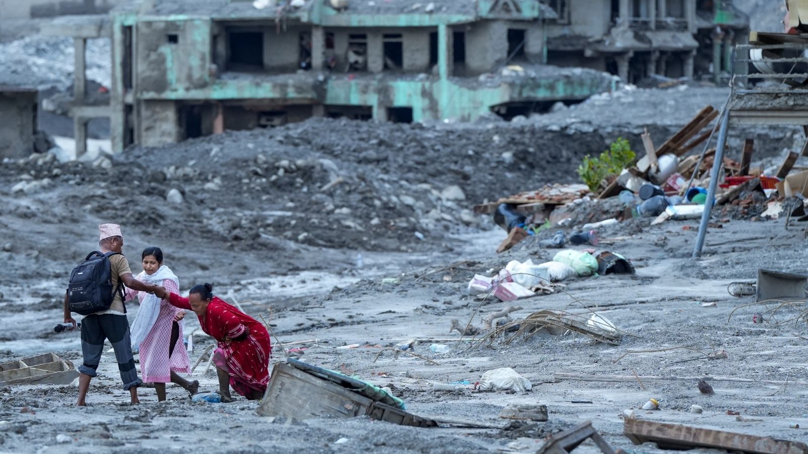
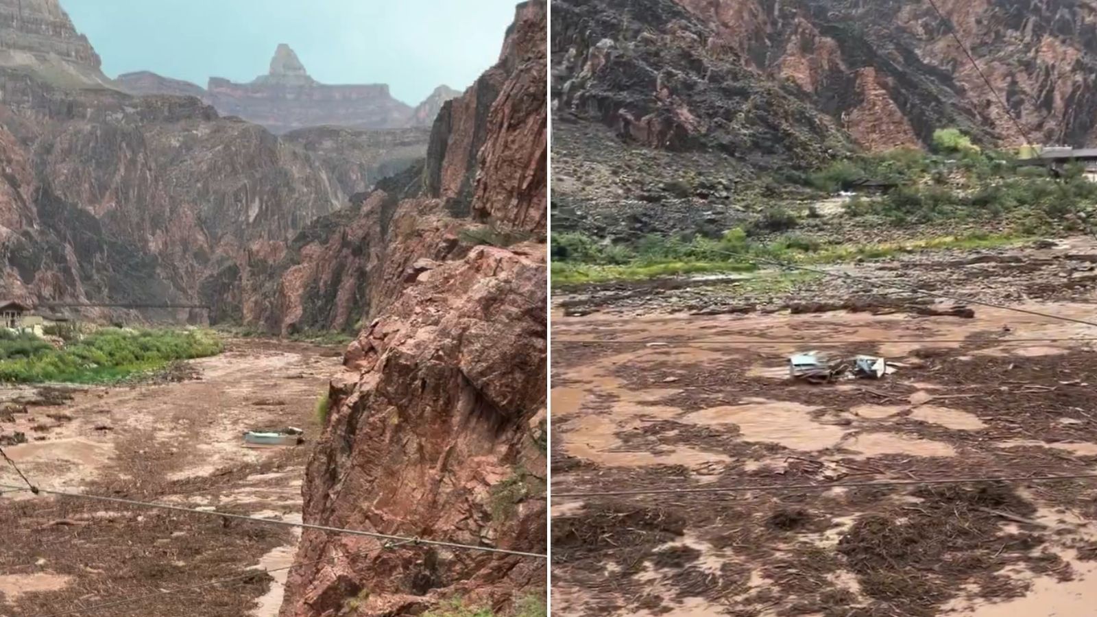
When a glacial collapse triggered catastrophic flash floods along the Nepal-Tibet border, sweeping away infrastructure at the Gyirong Port border crossing, citizen-captured footage of the torrent immediately flooded platforms like WeChat and regional social networks. Within hours, these digital records vanished. In their place, state-controlled media instituted a heavily curated loop centered entirely on official rescue deployments and executive directives. Observers often attribute this response to a reflex of secrecy or authoritarian embarrassment. That explanation mistakes a symptom for a system. State-level information suppression during natural disasters operates not as an emotional reaction, but as a calculated institutional risk-mitigation strategy designed to protect political legitimacy, obscure structural vulnerabilities in mega-development projects, and suppress horizontal solidarity.
The State Risk Function and Political Legitimacy
To understand why a natural disaster triggers heavy digital containment, one must examine the cost-benefit calculus governing authoritarian crisis management. In a centralized political structure, state competence is treated as absolute and continuous. An unmanaged visual narrative of destruction introduces two distinct threats to this premise: organic mobilization and accountability gaps.
When citizens witness uncurated devastation within their borders, the psychological distance between the governed and the governing collapses. Videos showing wall-like surges of mud engulfing immigration compounds bypass bureaucratic filters, enabling horizontal communication among citizens. This peer-to-peer sharing creates an alternative truth vector that competes directly with state-sanctioned narratives.
Furthermore, the geopolitical and domestic sensitivity of Tibet elevates the stakes. Beijing views the region through an uncompromising national security lens. Uncontrolled documentation of local suffering risks drawing international scrutiny toward demographic and environmental engineering in fragile Himalayan zones. By scrubbing raw footage and replacing it with still frames and top-down rescue framing, the administrative apparatus reasserts monopoly control over the definition of the crisis.
The Infrastructure Vulnerability Matrix
The physical triggers of the disaster—accelerating glacial retreats and structural instability in the Himalayas—expose a compounding operational dilemma for regional planners. Economic development and infrastructure expansion across high-altitude border zones have surged over the past two decades. Mega-projects, roads, and trade ports like Gyirong are marketed as triumphs of engineering over hostile geography.
When a glacial lake outburst flood or landslide obliterates these corridors, the visual evidence does more than document weather events; it indicts the underlying planning models. Unfiltered footage of collapsing infrastructure raises uncomfortable questions among the domestic populace regarding project safety, environmental degradation, and risk assessment.
Censorship functions here as a protective shield for industrial and administrative prestige. By restricting local testimonies and restricting access for independent journalists, the apparatus prevents local environmental trauma from scaling into a broader systemic critique of state-directed regional transformation.
The Operational Mechanics of Narrative Containment
The mechanical execution of information control during the border disaster followed a predictable sequence, honed through prior public health and industrial crises:
- Instantaneous Triage: Algorithms and human monitors target localized uploads within hours of publication, prioritizing geo-tagged clips originating near the disaster epicenter.
- Narrative Substitution: Visual vacuums left by deleted citizen media are immediately filled with pre-scripted broadcasts highlighting elite response, military deployment, and executive concern.
- Access Bottlenecks: External and internal transit restrictions ensure that independent verification remains statistically improbable, limiting external inputs to official tallies and tightly managed state wire releases.
This triumvirate of tactics creates an asymmetry of information where the state retains the sole power to quantify loss. The stark divergence between regional casualty counts—with thousands missing or affected across the wider trans-boundary basin versus single-digit fatalities reported on the immediate Chinese side—highlights the utility of narrative boundaries in shaping official reality.
The Transboundary Fallout and Accountability Deficit
Environmental catastrophes in shared river basins refuse to respect national firewalls. Water, debris, and ecological consequences flow inexorably downstream into Nepal, India, and beyond. When upstream authorities restrict data sharing regarding water levels, glacial risks, and local impact metrics, downstream disaster response is structurally impaired.
The withholding of comprehensive damage assessments prevents effective cross-border hydrological forecasting. Emergency planners in neighboring nations are forced to operate with blind spots regarding the true volume and velocity of upstream blockages or secondary collapse risks. Information suppression thus externalizes operational risk onto neighboring sovereign entities, transforming a domestic political preference into an international security friction point.
Strategic Horizon
As climate volatility accelerates glacial destabilization throughout the Third Pole, the friction between ecological reality and administrative secrecy will intensify. Traditional information containment models face diminishing returns in an era of satellite telemetry, open-source intelligence, and cross-border digital leakage. Future climate-induced disasters will continue to test the limits of digital censorship, forcing state planners to choose between transparent regional cooperation and escalating friction with downstream neighbors who bear the physical costs of upstream silence.