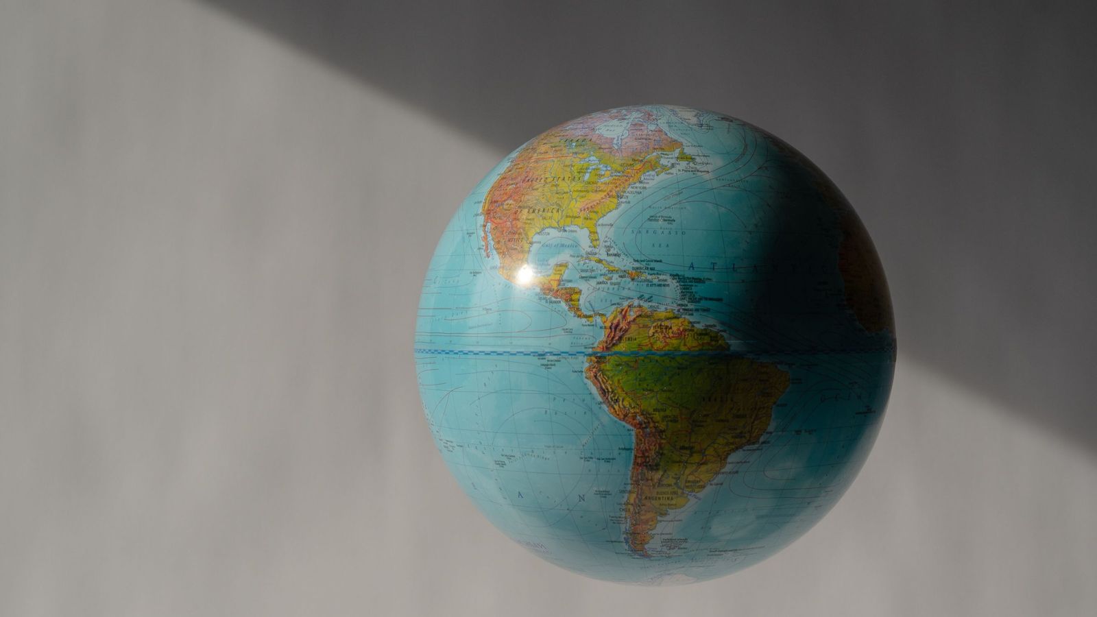
For over four centuries, people across the globe have grown up looking at a distorted planet. The 16th-century Mercator projection shrinks the Global South, blows up the northern latitudes, and quietly shapes how societies perceive geopolitical power. When the United Nations General Assembly adopted the "Correct the Map" resolution, it sparked an immediate global conversation. India voted in favor of the move, but with a specific caveat that separates practical geography from bureaucratic standardization.
If you look closely at how New Delhi positioned its vote, a clear message emerges. Maps matter, but institutional flexibility matters just as much.
Moving Past the Mercator Illusion
Gerardus Mercator drew his famous map in 1569 to help sailors navigate treacherous oceans. It was never meant to be an accurate portrait of planetary size. By stretching lines of longitude and latitude into a neat rectangular grid, the Mercator projection distorts scale radically as you move away from the equator.
Landmasses near the poles swell to monstrous proportions. Greenland looks roughly the size of Africa on standard classroom maps, even though Africa is actually about fourteen times larger. Alaska appears comparable to Brazil, while whole continents like South Asia, Latin America, and Africa get visually compressed.
This visual bias isn't just an academic quirk. It feeds subconscious narratives about economic importance, political gravity, and regional relevance. The UN resolution, sponsored by Togo on behalf of the African Group, aimed squarely at correcting these historical imbalances. With 164 votes in favor, the international community signaled that it is time for modern educational tools, digital platforms, and global institutions to reflect true geographical proportions.
Why India Said Yes With a Condition
India's endorsement of the resolution wasn't a blank check for any single alternative map design. Speaking at the United Nations, Indian diplomat Raghoo Puri made sure to draw a sharp boundary.
New Delhi supported the underlying spirit of equal-area map projections—models designed to preserve the true relative sizes of continental landmasses. At the same time, India explicitly rejected locking the global community into endorsing one specific layout, such as the Equal Earth projection.
Cartography is a toolset, not a religion. Different tasks demand different technical compromises. A projection that fixes area distortions might warp shape, direction, or distance. Forcing cartographers, academic institutions, and national mapping agencies into a single stylistic box creates more problems than it solves.
By pushing for technological and methodological neutrality, India ensured that individual nations retain the autonomy to choose the precise projection that fits their specific scientific, navigational, or educational requirements.
The Practical Realities of Global Cartography
Changing how the world draws itself sounds simple, but digital infrastructure makes it messy. Billions of people rely on navigation software, digital atlases, and web mapping tools every day. Most of these digital products rely on variations of web Mercator projections because they handle high-zoom rectangular tiling efficiently.
Transitioning global media and software ecosystems away from legacy standards requires massive technical updates. It also opens doors for geopolitical friction. Territorial boundaries remain sensitive flashpoints worldwide. As seen during the UN discussions, various member states hold distinct sensitivities regarding regional sovereignty and disputed borders.
Maintaining cartographic neutrality protects the integrity of scientific mapping without letting international bodies mandate rigid design aesthetics that might conflict with local regulatory needs.
Fixing visual bias on a round globe is overdue, but doing it right requires keeping options open. Demanding accuracy shouldn't mean enforcing a monopoly on how we render the earth.