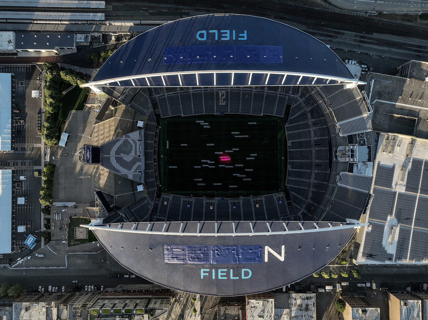
The seizure of more than 600 Unmanned Aircraft Systems (UAS) by the Federal Bureau of Investigation (FBI) during the opening weeks of the 2026 FIFA World Cup exposes a critical friction point between consumer technology proliferation and mega-event security infrastructure. While public reporting frames these interventions as localized enforcement actions against hobbyists, a structural analysis reveals a deeper reality: the modern sporting arena has become a high-stakes proving ground for counter-UAS (C-UAS) engineering and multi-jurisdictional airspace interdiction.
Securing an event of this scale requires solving a complex optimization problem. Security agencies must detect, identify, and mitigate non-compliant airborne hardware within seconds, all while operating under strict statutory limits regarding electronic warfare and property rights. The 600 intercepted drones represent a baseline metric for the operational reality facing security teams when low-cost, high-capability consumer tech intersects with zero-tolerance airspace restrictions.
The Three Pillars of Airspace Interdiction
Defending dense urban venues from unauthorized UAS traffic relies on three highly integrated operational steps. A failure in any single phase invalidates the entire security apparatus.
Detection and Signal Discrimination
Stadium environments are notoriously challenging for radio frequency (RF) monitoring due to extreme electromagnetic noise from tens of thousands of consumer cellular devices, Wi-Fi routers, and broadcast media equipment. C-UAS teams deploy multi-layered sensor arrays that combine active radar, passive RF scanners, acoustic sensors, and long-range optical tracking. The primary technical challenge is distinguishing a consumer drone's control link from background noise, then matching its signature against known transmission profiles used by commercial manufacturers.
Operator Localization vs. Platform Interception
Counter-drone doctrine prioritizes locating the human operator over disabling the airborne vehicle. Because modern consumer drones are equipped with automated return-to-home protocols if they lose their signal, tracking the uplink transmission often reveals the pilot's exact coordinate location. This allows ground units to intercept the operator and issue fines or make arrests, resolving the threat at its source without needing to deploy physical or electronic countermeasures inside a crowded stadium area.
Kinetic and Non-Kinetic Mitigation
When a drone crosses a critical geographic threshold and the operator cannot be immediately reached, security teams must use mitigation tools authorized under federal law. These interventions are split into two primary methodologies:
- Non-Kinetic Interception: This involves targeted RF jamming, GPS spoofing, or protocol manipulation to force the drone to land or return to its origin. These methods carry secondary risks, as jamming can inadvertently disrupt emergency communications or commercial cellular networks in the area.
- Kinetic Interception: This uses physical interception tools, such as net-firing projectiles or specialized security drones, to capture the target vehicle. Kinetic options are rarely used directly over crowds due to the high risk of falling debris.
The Economics and Geography of Enforcement
The Federal Aviation Administration (FAA) manages these high-security zones by issuing Temporary Flight Restrictions (TFRs). These legal boundaries create a highly regulated volume of airspace that forces an immediate shift in legal accountability for anyone operating inside it.
       [ Outer Boundary: 3 Nautical Miles / 3,000 Feet ]
      +-------------------------------------------------+
      |                                                 |
      |     [ Inner Boundary: 1 Nautical Mile ]          |
      |    +------------------------------------+       |
      |    |                                    |       |
      |    |         [ STADIUM / VENUE ]        |       |
      |    |              (Ground Zero)         |       |
      |    |                                    |       |
      |    +------------------------------------+       |
      |                                                 |
      +-------------------------------------------------+
The operational geometry of a standard match-day TFR establishes a strict three-nautical-mile radius extending from the stadium center up to an altitude of 3,000 feet. This restriction takes effect three hours before kickoff and remains active until three hours after the match concludes. For auxiliary locations like official Fan Festivals, the perimeter scales down to a one-nautical-mile radius up to 1,000 feet.
Operating inside these boundaries triggers immediate civil and criminal liabilities designed to deter casual pilots:
| Enforcement Vector | Penalty Cap | Operational Outcome |
|---|---|---|
| FAA Civil Penalties | Up to $100,000 per violation | Administrative asset forfeiture and license revocation |
| Federal Criminal Charges | Up to 1 year imprisonment | Felony prosecution for reckless airspace endangerment |
| Asset Forfeiture | Immediate physical seizure | Permanent confiscation of hardware for digital forensics |
This punitive structure targets the asymmetry of consumer drone deployment. A $1,000 off-the-shelf drone can disrupt a multi-billion-dollar broadcast and compromise the safety of 80,000 spectators. By raising the financial and legal penalties to extreme levels, authorities aim to shift the risk-reward calculation for casual or reckless pilots.
Systems Failures and Scalability Bottlenecks
The sheer volume of seizures—76 units in Atlanta alone during the initial match phases—exposes two significant systemic challenges that complicate large-scale drone defense.
The first limitation stems from public awareness and software dependencies. Despite the availability of flight-planning applications like B4UFLY, the consumer drone market remains heavily populated by casual users who do not check notices to airmen (NOTAMs) or active TFR registries before launching. While major drone manufacturers build internal geofencing software directly into their flight apps to block takeoffs in restricted zones, these databases often fail to update in real time for temporary restrictions. This creates a technical gap where a user's device may signal that an area is clear to fly even though federal agencies have classified it as restricted.
The second bottleneck is an operational capacity problem for law enforcement. Processing 600 seized drones requires immense resources. Every single seizure triggers a time-consuming administrative and investigative chain:
- Chain of Custody Logging: Documenting the physical drone hardware and components.
- Operator Identification: Locating, questioning, and processing the pilot.
- Digital Forensic Extraction: Examining internal flash memory, flight logs, and serial numbers to confirm the flight path and check for intentional malicious intent.
This workload places a heavy burden on federal field offices, diverting specialized cyber and counterterrorism personnel away from broader intelligence duties to handle what are mostly low-level compliance infractions.
The Strategic Path Forward for Mega-Event Security
To manage the rising volume of consumer drones without exhausting law enforcement resources, major event security must shift away from manual, reactive interdiction toward automated, programmatic enforcement.
The first priority is establishing mandatory live data integration between the FAA's real-time TFR registry and consumer drone flight software. Security agencies must work directly with hardware manufacturers to ensure that when a temporary flight restriction is declared, it is pushed immediately to all connected devices via cellular or satellite networks. This would automatically lock out throttle controls within the restricted boundaries, stopping violations before the drone ever leaves the ground.
The second priority requires deploying standardized Remote ID broadcast readers across all urban security networks. Remote ID functions as a digital license plate, requiring drones to continuously broadcast their identity, location, and control-station coordinates. Universal deployment of these readers allows security systems to instantly filter authorized commercial and broadcast drones from unverified targets. This filters out the noise, allowing tactical teams to ignore compliant traffic and focus their energy exclusively on ambiguous or non-communicative airborne threats.
The final element is establishing localized, automated RF mitigation systems that create an invisible electronic barrier around stadium properties. Rather than relying on human teams to spot and track targets manually, future defense networks must use automated systems that detect a non-compliant signal, pinpoint its origin, and deploy soft-kill protocol overrides instantly. This approach contains the threat at the perimeter, protecting the venue while minimizing the need for manual field arrests and administrative asset processing.